Service Manuals Unlimited
4,623 High-Resolution Historic Topographic Maps – Instantly Downloadable Image Collection (.ZIP File)
4,623 High-Resolution Historic Topographic Maps – Instantly Downloadable Image Collection (.ZIP File)
Couldn't load pickup availability
4,623 High-Resolution Historic Topographic Maps – Instantly Downloadable Image Collection (.ZIP File)
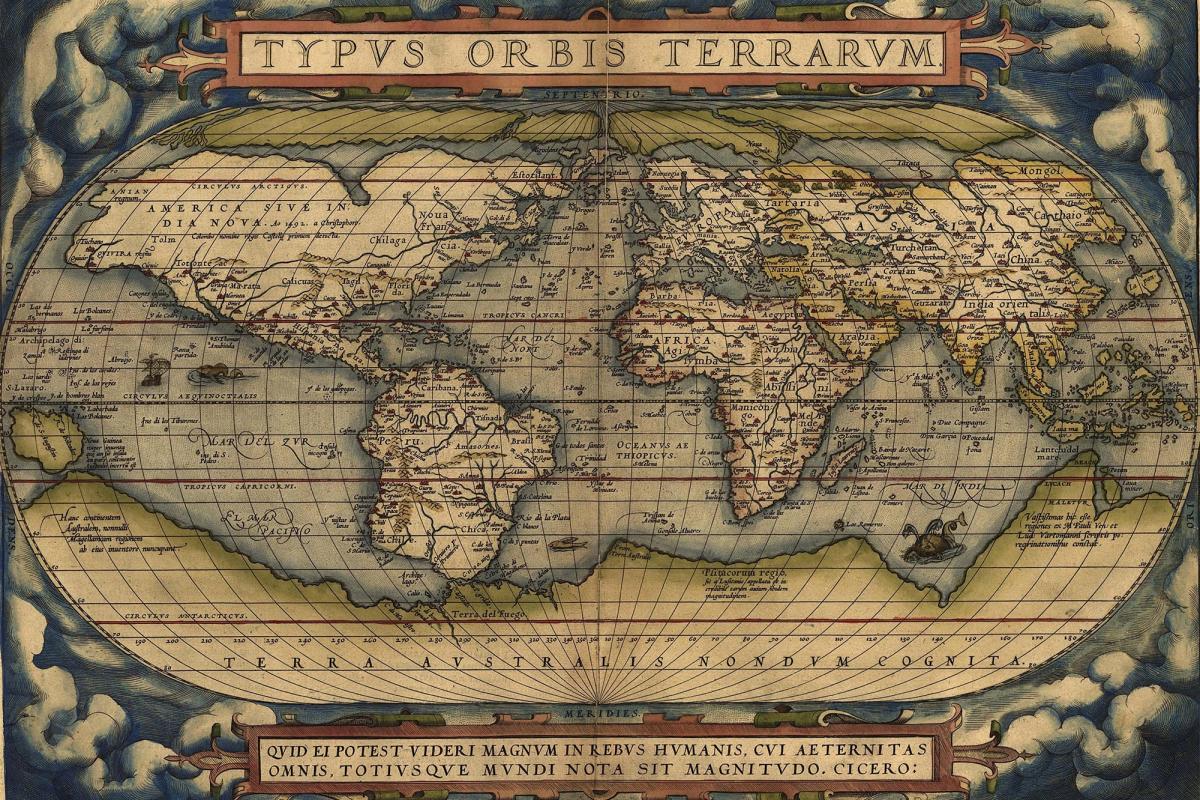
Explore geography through time with 4,623 high-resolution historic topographic map images, delivered digitally in a convenient .ZIP file for immediate download. Perfect for historians, genealogists, designers, educators, and collectors, this exclusive archive opens a gateway to the world as it once was.
These digitally preserved maps are ideal for print, research, education, or creative projects. Whether you're restoring history or designing vintage-style decor, this collection delivers stunning, detailed topographic visuals from past centuries.
🌍 What You’ll Receive:
-
4,623 topographic map images in high resolution (JPG/PNG format)
-
Covers Europe, North America, Asia, Africa, and more
-
Digitally scanned from authentic historical documents
-
Delivered as a downloadable .ZIP file — no physical shipping required
-
Print-ready, royalty-free for personal or commercial use (see license terms)
🧠 Why It’s Irresistible:
-
Dive into forgotten territories, extinct villages, and old boundary lines
-
Ideal for genealogy, historical research, academic study, or design inspiration
-
A dream resource for map collectors, history lovers, educators, and artists
-
Beautiful for wall prints, educational material, or digital archives
-
Save countless hours of searching—everything in one organized package
🔍 Zoom into the past. These maps let you see history as it was drawn.
📬 Have a question before or after purchase?
Reach out via our contact form—we’re happy to help!
Share